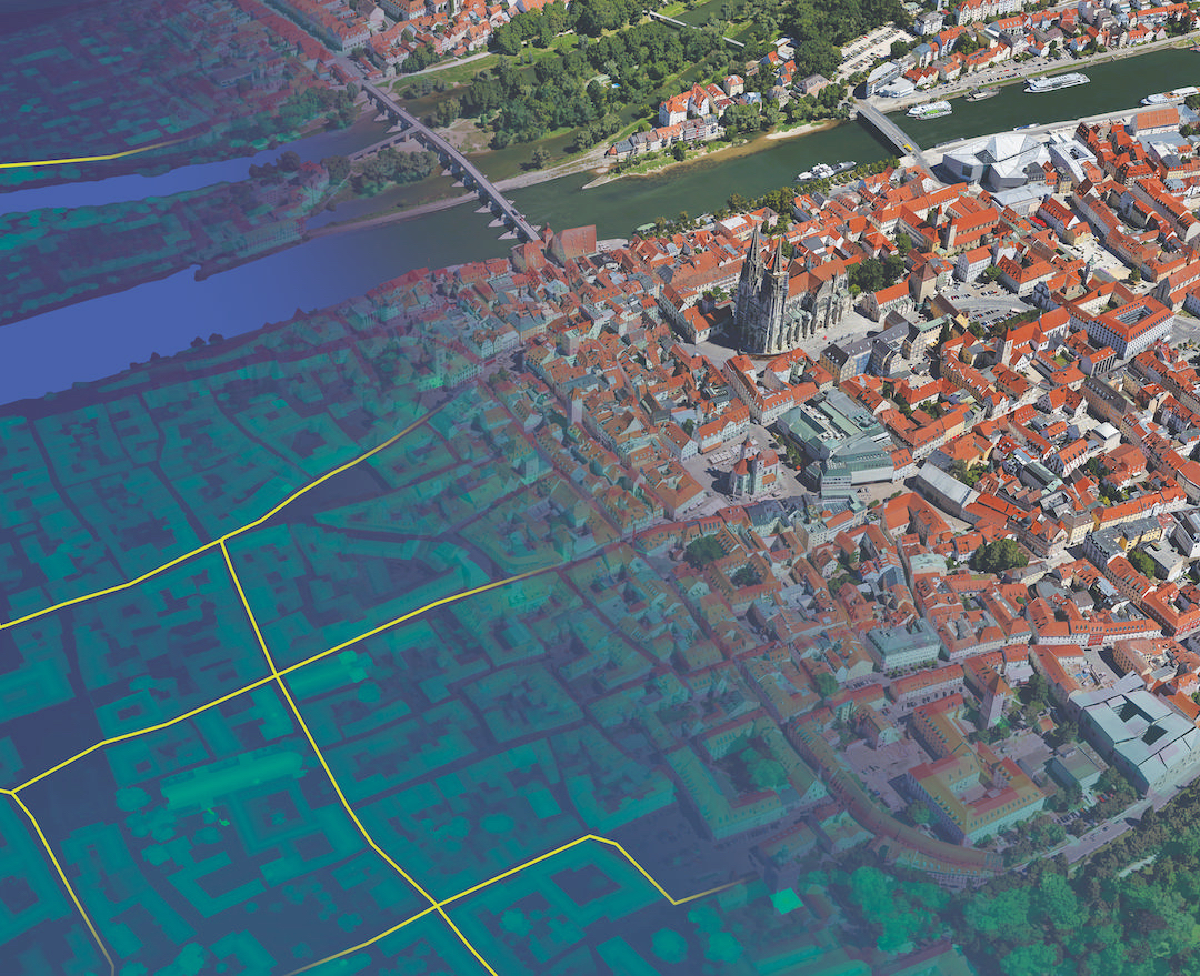
The amount of data business and governments are collecting is growing by the day. NASA1, for example, is managing almost one billion gigabytes of data, which amounts to an Exabyte – 1,000,000,000,000,000,000.
That’s a lot of zeros, and a huge amount of data to manage. This type of information in organisations includes names, addresses, buying behaviours and lifestyle information. Geospatial data – or information relating to location – is at the very heart of this data. 80% of all business data contains a location component.
Savvy businesses are tapping into the goldmine of location information using smart tools and systems to reveal new insights. This process of gaining insights from geospatial data relationships is known as location intelligence.
> See also: Beneath big data: building the unbreakable
Location intelligence takes big data to a new dimension, adding context, creating insight and fuelling opportunity. It provides the 'Where?' to the 'Who?' and the 'What?'.
Businesses today are looking to achieve simple primary objectives or outcomes: to reduce costs; to increase revenues; and to improve the service they deliver. Price is becoming less and less relevant as a differentiator, and so businesses need to find ways to improve their responses to market changes in order to gain a competitive advantage.
Location intelligence plays a major part in helping them reach these objectives. Organisations across a variety of industries are looking to location intelligence to create impact, and bridge the physical and digital worlds of commerce.
Reducing costs
Cost savings are one of the key benefits of location intelligence. Using this technology, corporations are able to improve efficiencies by making smarter, more informed strategic decisions. Telecom companies use location intelligence to help manage their assets and accurately forecast network outages, enabling them to respond quickly, reduce downtime and minimise customer service and engineering costs.
Similarly, public sector organisations use location intelligence to forecast savings generated by moving citizen resources online to meet digital objectives. Barnsley Council, for instance, was one of many local body authorities in the UK facing budgetary pressure to cut costs – location intelligence provided a solution. The council developed Barnsley Interactive Maps and MyProperty from its existing platform.
These public-facing mapping functions now provide detailed information which is both borough-wide – road works and planning consents, for example – and property-specific, such as bus stops and school locations. With access to this data, staff can make more informed operational and policy decisions and improve cost efficiencies.
Increasing revenues
In addition, businesses are able to utilise location intelligence to increase revenues. Banks and retailers can identify optimum sites for investment and the potential spend per head within a target demographic analysis. Moreover, many different types of organisation are able to boost their marketing efforts by identifying new customer opportunities, and aiming their marketing at their target markets with more precision.
However, it isn’t just about attracting new customer bases – revenues from existing customers can also be boosted. Businesses can gain a better understanding of their current customers’ behaviours which in turn drives customer retention. Domino’s Pizza, for instance, has enabled more targeted communications using location services. Part of its business model relies on growing its international presence through franchise territories.
Managing these franchises is complex due to the necessity of avoiding overlap, and minimising territory conflict. It now uses extensive, certified address validation technology, along with current street information from a validated source. This provides the ability to keep up to date with any changes in areas such as new builds, demolitions and changes to building use, which enables more targeted communications.
The risk of wasting budget on direct marketing to addresses that no longer exist is reduced dramatically, improving the ordering experience and increasing internal productivity.
Improving service
One of the most significant benefits of location intelligence is the improvement of business service – ultimately feeding into reduced costs and increased revenues. We’ve seen a wide range of organisations using location services to improve their services for customers, and one industry that is benefiting in particular is the insurance sector. Improved catastrophe modelling can produce more reliable results; risk estimations for hazards such as flood, wind, earthquake, explosion and bushfire can be performed with greater precision.
The Willis Group’s reinsurance branch, Willis Re, now experiences this by performing in-depth risk analysis on a corporate client’s or insurer’s book of business (exposure) across every territory. One of the world’s largest professional services firms specialising in risk management, the Willis Group implemented the latest in location-based technologies to deliver enhanced service to its clients, for whom profit margins on risk can depend on precise detail.
> See also: Innovation at a premium: what the insurance sector can learn from digital retailers
The solution has been incorporated into analyst workflows, enabling Willis to undertake complex geographical risk analyses faster and more easily than ever before. Similarly, Barbican Insurance, underwriters of marine, aviation and transport insurance, use an integrated solution that combined data on risks such as flooding, subsidence and crime with precise postcode information. By combining geospatial datasets and historical information on these risks, Barbican now has an integrated, location-specific view of potential risk.
The future
Location intelligence is already being used for a wide variety of business functions. Beyond this, what was once seen as impossible is continuing to be made a reality. By using satellite data to calculate the possible locations reachable within a specified time period, businesses such as estate agents use the service to provide an exact travel time from properties, and can identify shops, tube stations and restaurants within, for example, a fifteen minute walk. All possible due to a partnership between Pitney Bowes and mapping software business iGeolise.
When we consider new data sources such as mobile tracer data from smartphone apps, social media data, and new methods of creating catchments such as public transport, it’s clear that the future of location intelligence has no limits.
Sourced from James Brayshaw, VP Data Management, Location Intelligence and Software Specialist, Pitney Bowes


