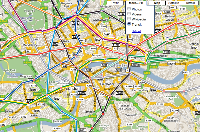
A small business made up of open data and data visualisation experts from Ipswich has teamed up with Google to improve the way passengers receive public transport information.
ITO World is enriching, converting and serving information from transport data providers on more than 17,000 separate routes across Britain for Google’s new public transport service, which launched on Google Maps last week.
Providing passengers with comprehensive detail on all modes of public transport – including bus, coach, rail, tram, metro and ferry – the service is being powered by ITO World’s new data management platform, Transport DMP.
“We are delighted to be working with Google on this project and just as proud of our transport data service,” said Peter Miller, CEO at ITO World.
“The platform combines years of transport data knowledge and expertise with cutting-edge technological know-how, allowing us to collate, aggregate and enrich data from various open sources before delivering it to our clients in the format they require.”
David Tattersall, product manager for public transport in Google Maps, added: “Today, every available train, bus, tube, tram and ferry in Great Britain are joined up by Google Maps to make a comprehensive one-stop-shop for public transport. This has been made possible by the availability of open transport data from partners like Traveline and served through ITO World.”
>See also: Open data set to transform Yorkshire cities with launch of ‘data mills’
Transport DMP uses a complex set of automated algorithms to enhance and enrich open data taken from sources including The National Public Transport Access Node database (NaPTAN), Traveline Public Transport Schedule dataset (TNDS), Transport for London and Network Rail.
ITO World said it is committed to extending the scope of Transport DMP beyond just Great Britain as and when the relevant data becomes available. This would see Northern Ireland included.
The company also provides publicity and communication services and is developing data visualisation insight tools that aim to make complex data sets easier to understand and simpler to act on for transport authorities, planners, operators and consumers alike.
Miller said ITO’s data and data visualisation capabilities will aid future transport planning and policy, with wider application for intelligent mobility more generally.
“A voracious appetite is emerging in the transport sector for data, data driven insight and real-time business intelligence,” he said. “That’s why ITO is attracting so much attention from organisations that have significant commercial and economic interests in understanding traffic, movement across modes, network connectivity, congestion, asset management and safety – particularly as there is an increasingly overwhelming amount of data available to understand.
“The right data can tell us everything we need to know to make better-informed decisions, but sometimes a visual representation is so much more effective in getting the message across.”


