Most people would consider a summer stroll across three countries around the magnificent Mont Blanc as a splendidly scenic way to spend a weekend.
But the runners in La Petite Trotte à Léon aren’t normal people. Comprising 59 teams of three, the athletes run 220 kilometres (140 miles) around the mountain carrying all their food, water, navigation and survival gear – non-stop, day and night, till they finish or drop.
The course, which starts and ends at the ski resort of Chamonix, crosses through Switzerland, France and Italy, involves a climb of 17,000 metres – the equivalent of Everest, twice – in three days.
The race, run for the first time in 2008, is the larger cousin of the more famous Ultra Trail du Mont Blanc (UTMB), a 160km version that runs concurrently on a marked route with frequent “refuges” (pit stops) and attracts 2,000 participants and a horde of spectators. Both courses are so demanding that competitors are not ranked and there are no prizes, to avoid giving any incentive for runners to take unnecessary risks.
Such is the experience and mental strength required for the event that age is often more important than youthful stamina – the average age of the runners is 43 (last year’s winner of the UTMB was 60). Moreover, high morale is considered a key element to completing the course, and, this year, organisers supported that by publishing the runners’ statistics and location live on the Internet for family and friends to track.
UTMB runners are monitored via RFID tags, which are scanned as runners pass each refuge and the data is sent over GSM to servers hosted by sponsor Alcatel-Lucent in Brest, Northern France
But for those in the longer, more dangerous and unmarked La Petite Trotte à Léon, more sophisticated technology is required – Google, in fact.
For the August race, Philippe Everhard, a local computer manager and one of the race’s controllers, operated from a lecture hall in the International Ski Academy in Chamonix.
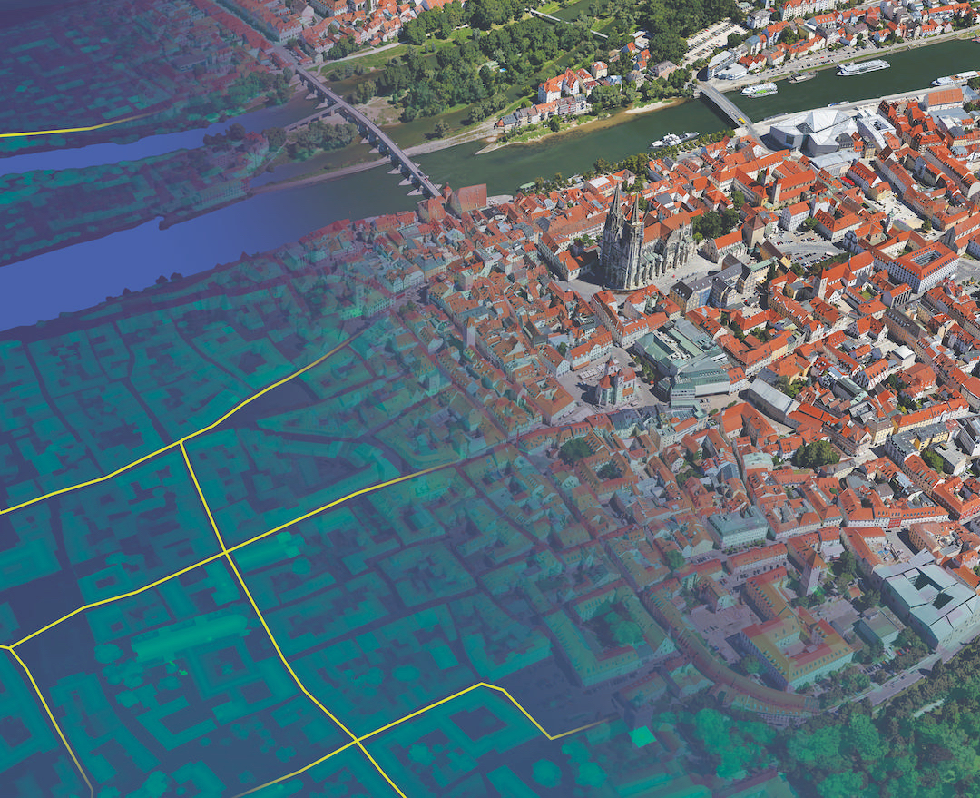
Everhard explains: “Each team carries a GPS device equipped with a SIM card which sends time, elevation and positioning data to the race hub every 15 minutes. This data is fed into Google Earth Plus (the $20-a-year subscription upgrade from Google Earth) and beamed onto a wall with a large projector.”
As well as providing enhanced network access for faster performance, the Plus version provides real-time GPS tracking and “track/waypoint” import for uploading of data from select GPS devices and spreadsheet importing for capturing location information via CSV files.
That means that a team appearing to be immobile for too long, for example, can be quickly identified and checked up on by the race controllers.
When the lead Belgian team became lost in a river valley on the second day of this year’s course, Everhard and his team quickly picked up on it and were able to get them back on track.
“The spirit of the race is that if someone is hurt, everyone comes to help. It’s not competitive,” Everhard adds.
While using Google Earth vastly improves the safety of the race, the technology itself can literally put an extra burden on the runners.
“They have to carry four packs of batteries for the GPS device, enough for five days’ power,” Everhard explains.
“There is a monastery halfway round, where they can pick up a bag they dropped before the race. And maybe pray,” he says.
The Belgian team, who were the first to cross the finish line after 66 hours, didn’t seem too bothered about the extra weight they had to carry.
“Even if we realise we are mad guys, out of the ordinary, this doesn’t stop us from doing things correctly,” one of them told reporters after completing the course.
Further reading
Is Google Chrome an operating system?
Newly-launched browser from search giant could point to an operating system for software-as-a-service applications
Find more stories in the Collaboration & Messaging Briefing Room


